Fireserve LLC performs both regulated and non-regulated fire safety services for fire departments and municipalities in order to extend the life of equipment, increase safety measures for fire fighters, provide solid records management for analysis and assessment, and improve fire safety rating performance classifications; all of which ultimately and positively impact the community and community development opportunities.
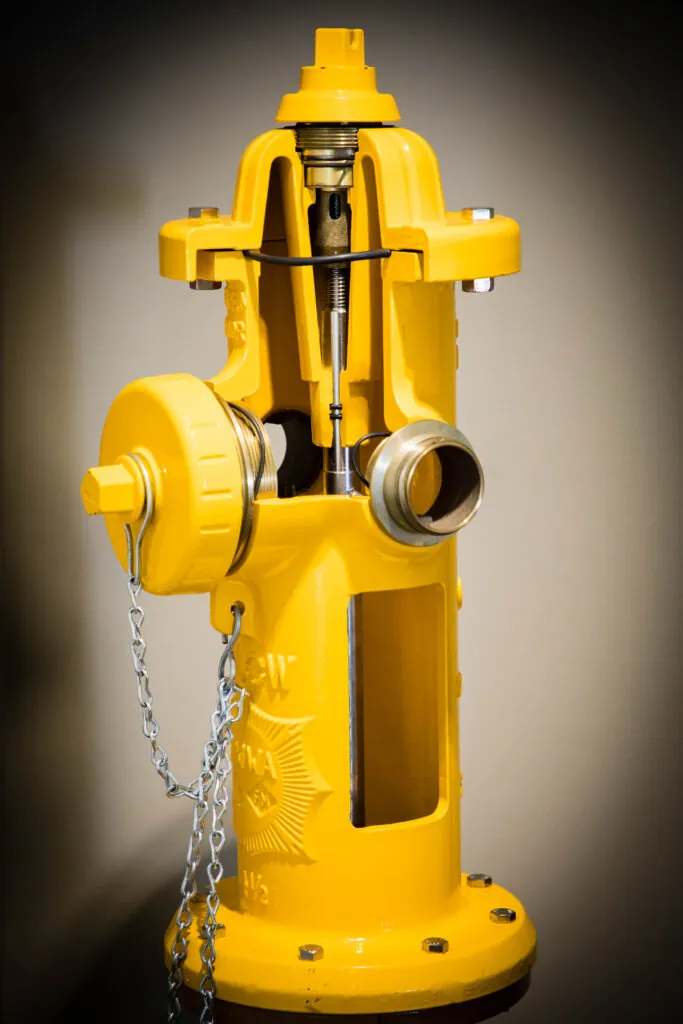
Whether dry barrel or wet barrel, fire hydrants connect to the water supply for first responders. It is important for the departments and municipalities to know the specific longitude and latitude of each hydrant location and the confirmed performance status of the hydrant, assuring it’s in the best working condition possible.


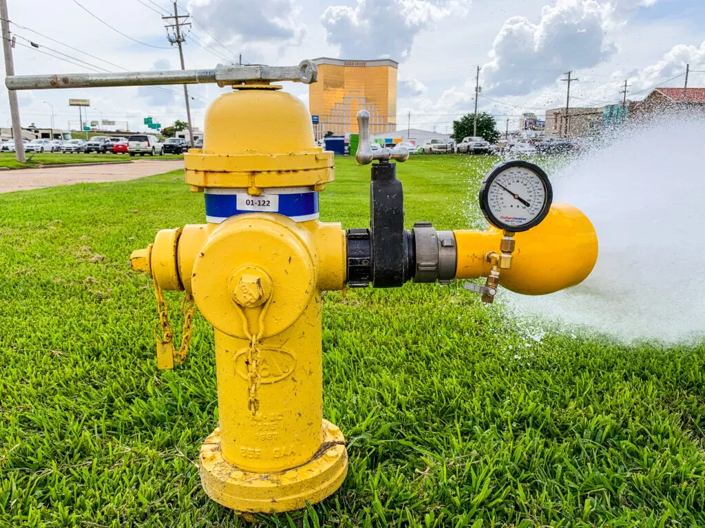



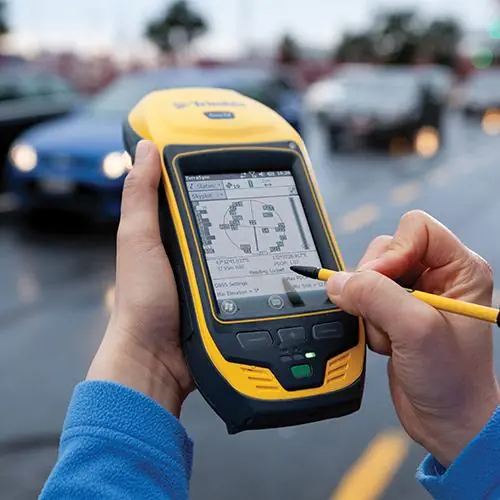
GPS Mapping of fire hydrants can shave crucial time off fighting a blaze. With Fireserve GPS Mapping services, noted by latitude and longitude, a comprehensive file of every hydrant number and location in the specified city can be imported into fire department GDT systems to lessen response times. Fireserve GPS Mapping also serves as a valuable tool in business development, as the data of hydrant locations and performance status is invaluable to incoming commercial developments that are interested in ready-made water supply from hydrants, as well as survey-grade data collection on the city and parish fire departments. While optional, it is suggested to capture all Fire Hydrants with the best available horizontal GPS accuracy.
Identify Hydrant Number By Location
Identify Type of Apparatus Needed to Fight Fire
Detailed Asset Notation
Identify Gaps in Water Supply Coverage
Centimeter Accuracy
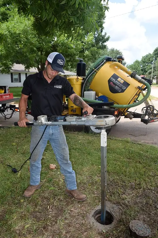
Valve location and exercise should be a priority for every municipality to assure efficiency of operations, especially during times of crisis.
Locate Valves, Map, & Record
Exercise Each with High Pressure Cleansing of Sediment
Apply Valve Turner to Determine Size of the Line by Number of Rotations
Checking Torque of Valve
Checking Appliances for Wear & Tear